Shade-first walking routes for heat-safe cities
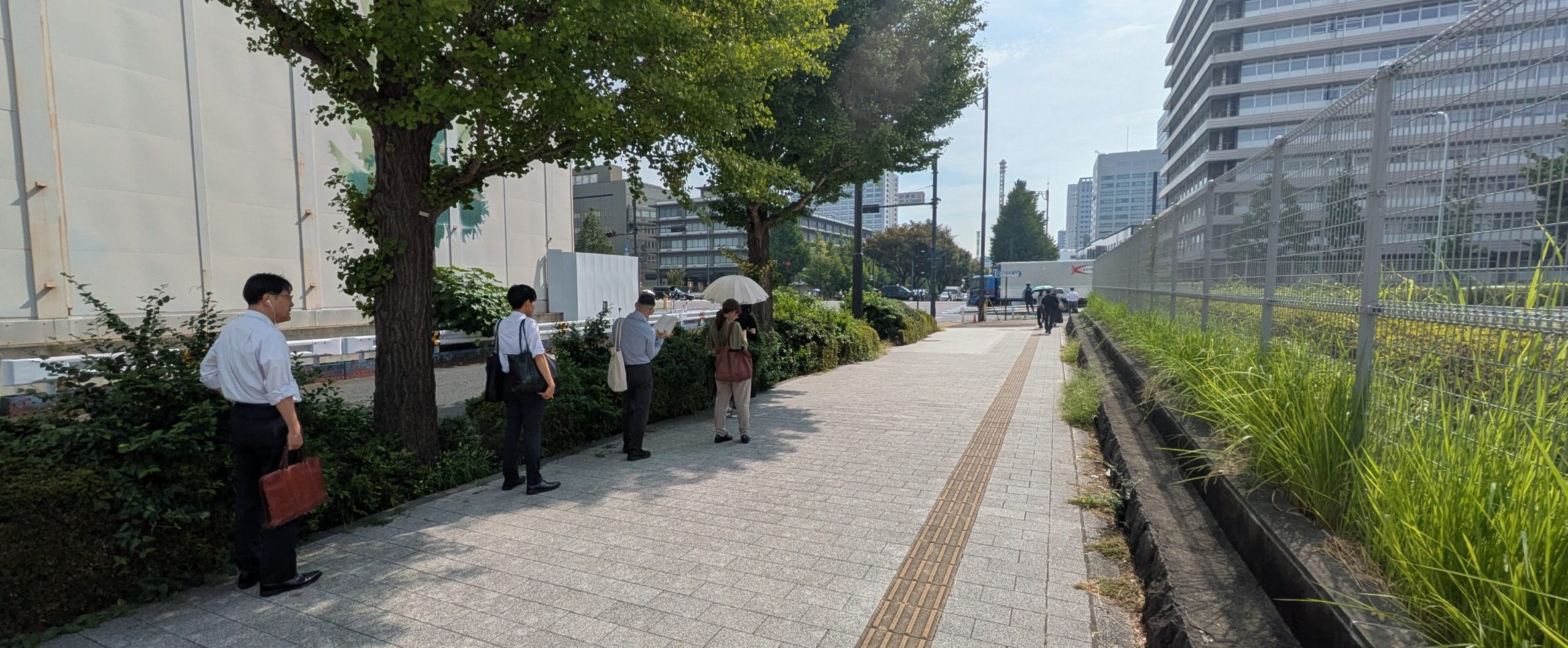
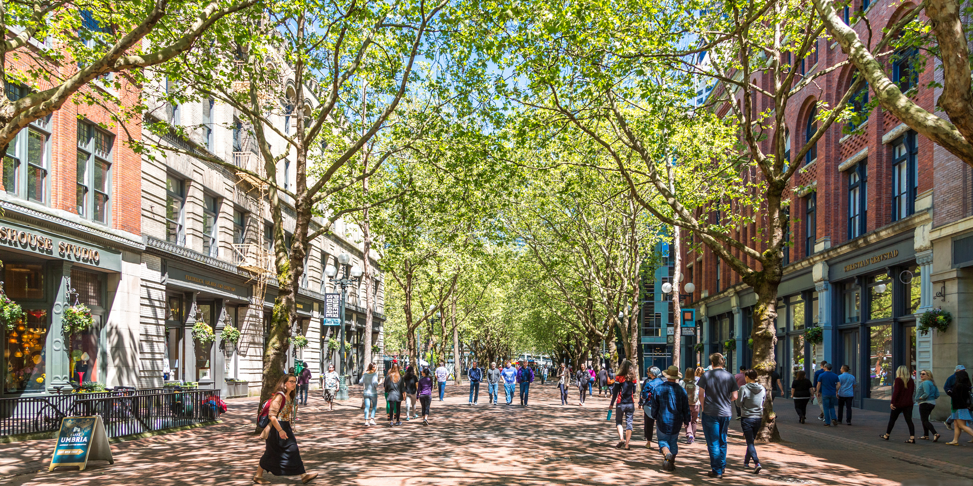
Due to the effects of global warming, midsummer temperatures in urban areas have become dangerously high, especially during the daytime, making it feel unsafe to walk outside. For example, when people step out of their offices at lunchtime, they instinctively seek shade to avoid direct sunlight. Even in the morning, pedestrians prefer to walk in shaded areas to escape the sun, and when waiting at a traffic light, they often stand not directly in front of the crosswalk but instead in a nearby shaded spot or under a tree. This everyday behavior suggests that shade is not just a by-product of urban form, but a critical piece of infrastructure for keeping cities walkable.
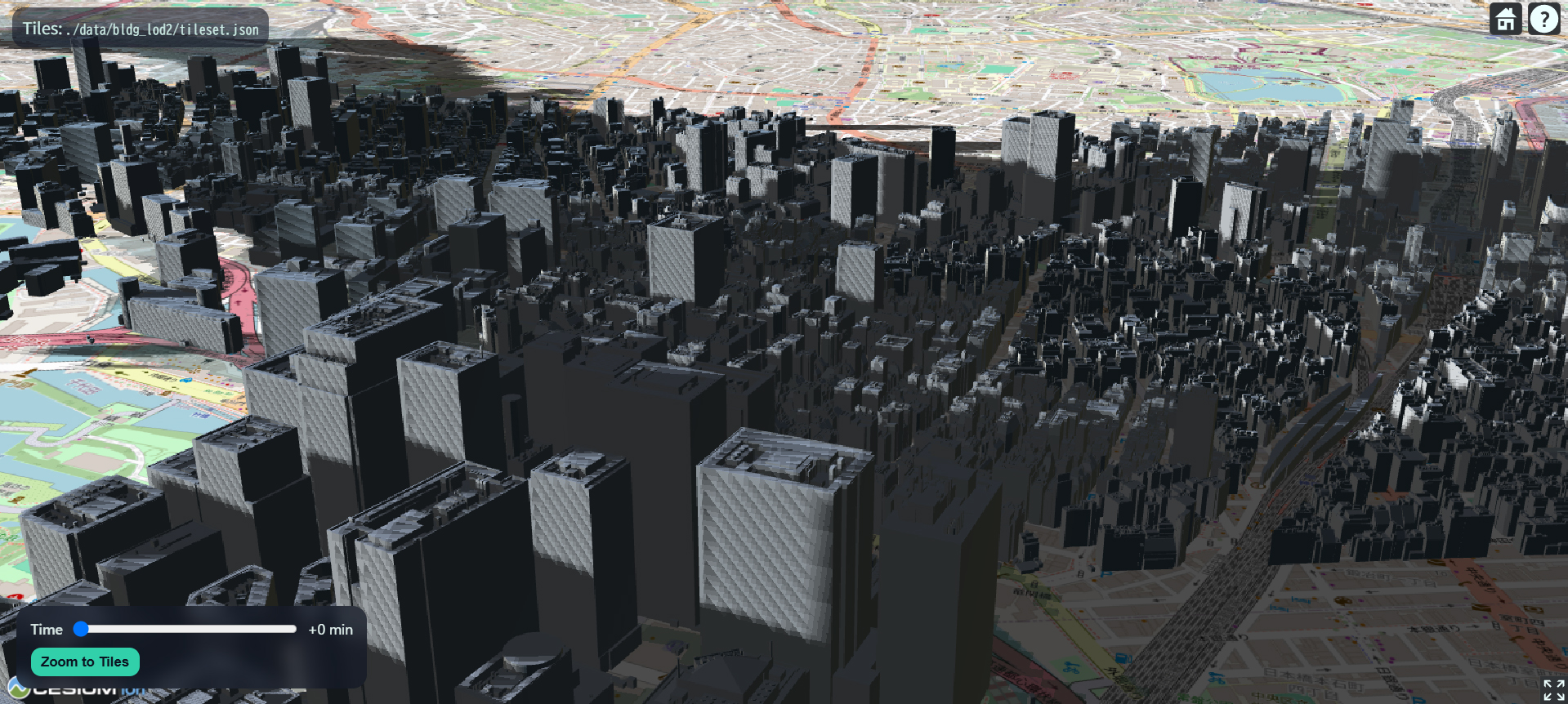
Cool Scape is a shade-aware navigation tool that responds to this reality. The application provides pedestrians with an optimal shaded route that avoids the most heat-intensive segments of the city, helping people enjoy outdoor spaces comfortably even in the height of summer. For everyday users, this means a practical way to reduce heat stress and walk more safely instead of giving up on outdoor movement altogether. At the same time, by collecting data that shows how often people choose shaded paths, Cool Scape serves as a tool for quantifying the value of creating shaded and tree-covered areas within cities.
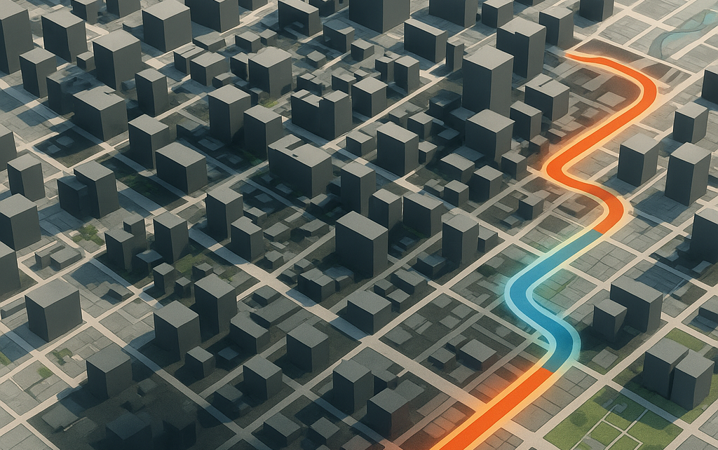
Previous studies, such as Cool Walks, have developed navigation maps that calculate routes with more shade based on shadows cast by buildings. However, Cool Scape takes a more comprehensive approach. It not only scores shade created by buildings but also includes shade from street trees, parks, and plazas, as well as heat-exposed areas such as wide, unshaded streets and open squares. Additionally, it incorporates the cooling effects of vegetation and water bodies and analyzes the city’s microclimate, providing users with a more holistic experience of comfortable walking and outdoor enjoyment even during extreme summer conditions.
In its extended vision, Cool Scape goes beyond shade alone and integrates a broader set of environmental data. By combining information from distributed urban sensors with satellite and remote-sensing sources such as LiDAR-derived geometry and land-surface temperature, the system maps not only sun and shadow but also wind comfort, sudden gusts around tall buildings, and local cooling effects from nearby parks and waterfronts. The goal is to discover routes that are not only shaded but also measurably cooler and more pleasant to walk through, reflecting the complex interaction of sun, wind, vegetation, and water in the city.
By using this tool, we can explore new approaches to urban design in the era of climate change and propose a method for quantifying the added value of planting vegetation and creating shade in cities. Ultimately, Cool Scape is a response to the emerging crisis of the “walkable city” under global warming: it reveals where the city is still survivable on foot, how design decisions can expand these comfortable zones, and how targeted investments in shade and greenery can help people continue to walk and enjoy urban outdoor spaces safely as summers grow hotter.