Reimagining how we safely and comfortably linger in the city.
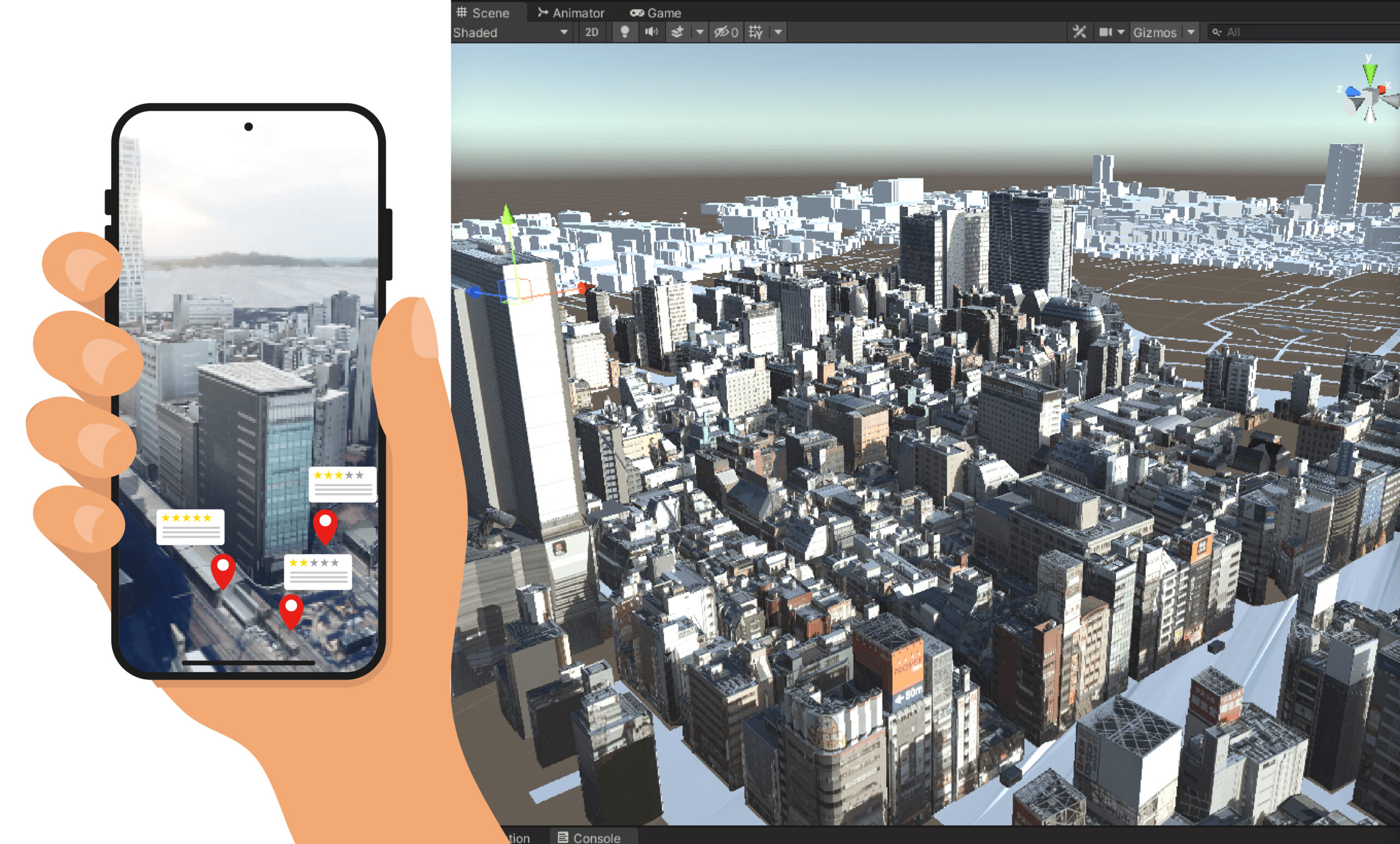
Loiterable City is a mapping and route-sharing application that identifies and promotes outdoor spaces in the city where people can safely and comfortably spend time. Instead of focusing only on designated public amenities such as parks and benches, the platform highlights a broader range of informal resting spots—wide staircases, plazas, grassy edges, steps, terraces, and small architectural ledges—places where people can eat, read, nap, stretch, talk, meditate, or simply exist outdoors without needing to consume or justify their presence.
By allowing residents to collectively tag and evaluate these “loiterable” spaces, the app visualizes the distributed network of micro-habitats that already enable casual gathering in the city. When more people use these locations, they naturally become socially legible and lively, generating new forms of value—community presence, social interaction, local foot traffic, and new business opportunities. The project reframes the act of lingering not as a nuisance but as a fundamental urban right and a source of vitality in public space.
The name Loiterable City intentionally challenges the prevailing narrative seen in many Western urban contexts, where “No Loitering” signs discourage people from staying in public space without purpose. While the platform raises questions about accessibility and the potential use of these spaces by unhoused people, the project embraces this as part of its core vision: creating and recognizing safe places to simply be in the city. Ultimately, Loiterable City proposes a shift in how public outdoor environments are valued—moving from spaces of circulation to spaces of shared presence, care, and everyday life.
Concept
A Loiterable City is one where people can comfortably pause at any moment—finding shade, seating, calmness, or simply a welcoming edge in the urban fabric.
Key themes include:
- Walkability & Stayability
- Shade, wind, and microclimate
- Public life and street vibrancy
- Safety and comfort in informal spaces
- Citizen-contributed data and collective intelligence
Rather than mapping destinations, the project maps where one can be.
Project Goals
- Identify and visualize urban “pockets of rest”—public spaces, plazas, benches, sheltered walkways, and informal semi-public areas.
- Build a new user-centered mapping infrastructure that prioritizes sitting, resting, eating, and staying.
- Promote a new UX paradigm for navigating cities, centered on public life rather than mobility alone.
- Create a globally scalable system deployable in Tokyo, New York, Los Angeles, London, Paris, and other metropolitan regions.
The project aligns strongly with research directions at MIT Media Lab (MAS), Harvard GSD, GSAPP, and City Science, bridging interaction design, urbanism, and environmental computation.
System Architecture
1. Mobile App (Prototype in Development)
A tool to help users instantly answer:
- Where can I sit now?
- Where is it shaded, quiet, or safe?
- Where can I eat my lunch outdoors?
The app reveals parks, plazas, benches, semi-outdoor paths, and nearby take-out food options.
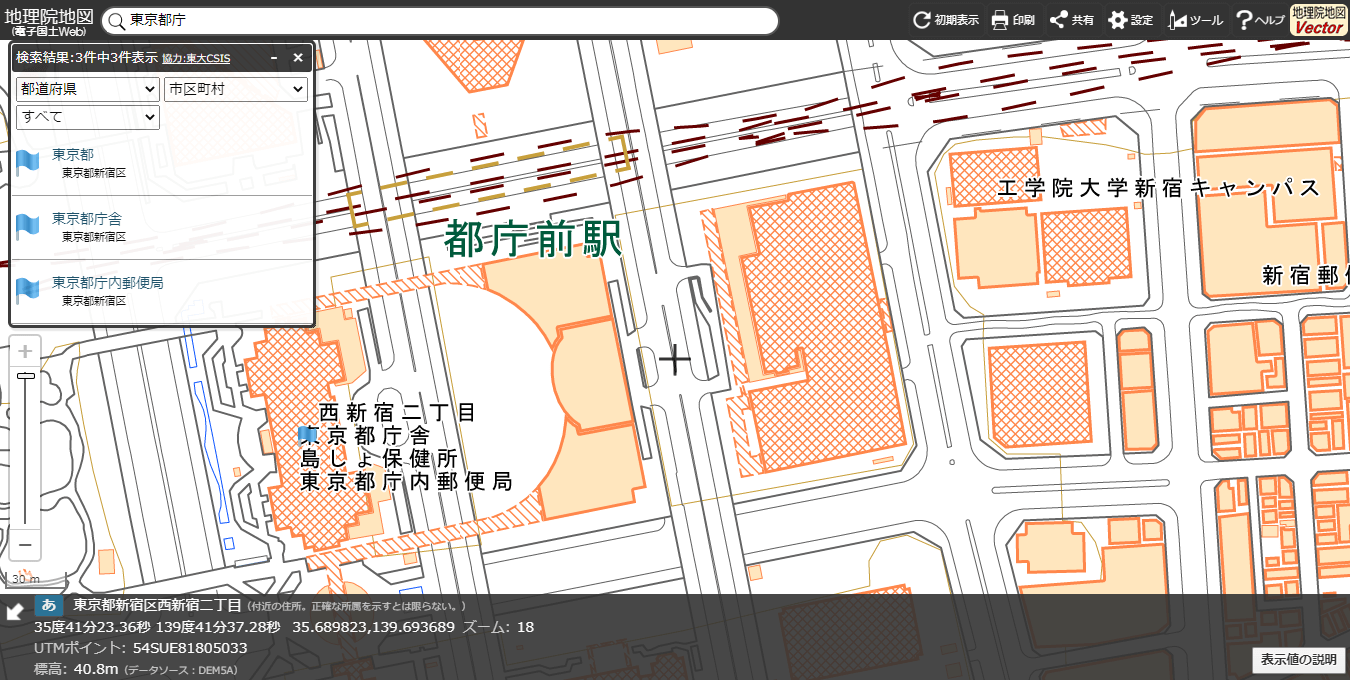
2. Urban Data Layer
A geospatial layer combining:
- OpenStreetMap datasets
- Custom attributes (benches, shade, wind, noise, safety indicators)
- User-generated reviews and environmental annotations
This becomes the foundation for a new “loiterability” map of the city.

3. City Dashboard (Future Phase)
A platform for municipalities to analyze public-space performance:
- Utilization heatmaps
- Shade availability
- Seating distribution
- Improvement suggestions based on actual user patterns
4. Academic Research Component
Developing a Loiterability Index, a composite metric of stayability, microclimate, and comfort.
The system visualizes this through:
- Heatmaps
- Shade and climate simulations
- Flowline diagrams showing public-space choice patterns
Designed as a research contribution for urban informatics and tangible interaction design.
Roadmap
Step 1 — Mobile App Prototype
- OSM-based custom map style
- Park / plaza / bench detection
- Take-out restaurant discovery
- GPS positioning
- Google review data
- Minimal and clean UI
Step 2 — Loiterability Layer
- Shade and canopy detection
- Semi-outdoor sheltered spaces
- Bench density and comfort scoring
- Tags (quiet / safe / clean / lively)
- Core Loiterability Index
Step 3 — Global Deployment
- Tokyo
- New York
- Los Angeles
- London
- Paris
- Singapore
Step 4 — Academic & Exhibition Integration
- Urban climate simulation views
- Interactive dashboards
- “Future of Public Life” visualization